Canberra Solar Footprint Mapping
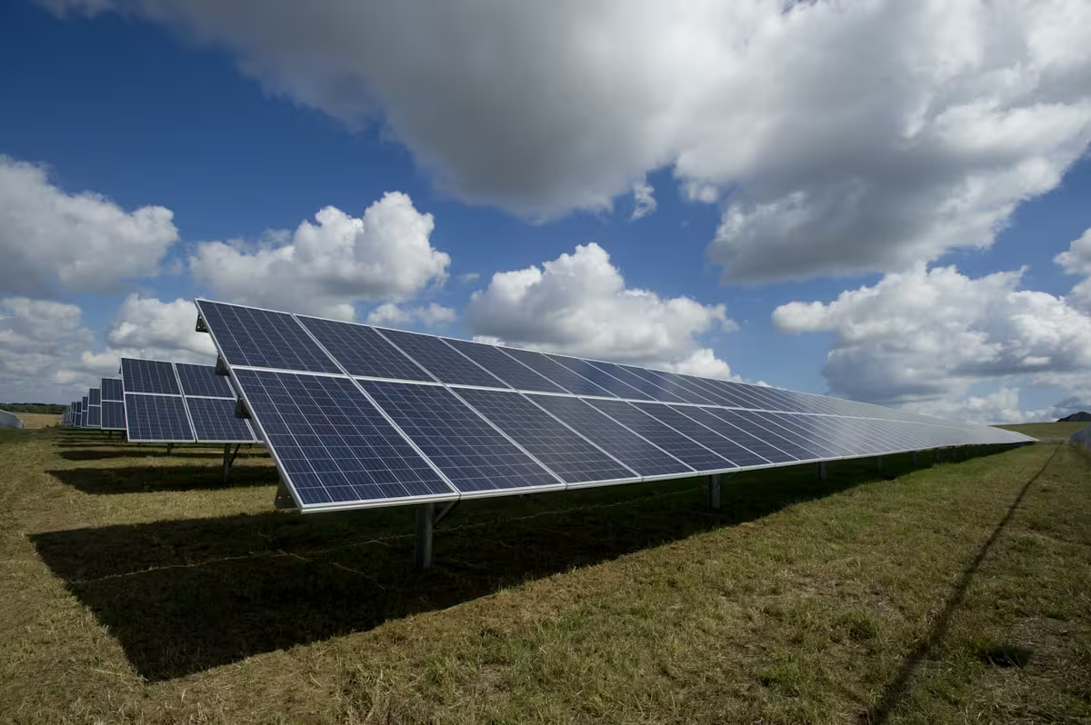
Deep learning classifier that scanned 94,000 Canberra building footprints and identified solar panel installations at 91.3% accuracy, replacing a manual survey process that took months per cycle.
Project Type
Research Project
Key Results
Classification Accuracy
Buildings Scanned
Full City Scan Time
Solar Roofs Detected
The Challenge
Canberra had no reliable count of which buildings had solar panels. Manual street-level surveys cost months of fieldwork and were outdated before they were finished, leaving energy planners blind to actual grid-edge generation capacity.
Key challenges included:
- No automated method to detect solar across 94,000 buildings
- Manual field surveys taking 4-6 months and outdated by completion
- Roof colours, materials, and shadows creating false positives in simple threshold methods
- Energy planners making grid investment decisions on 2-year-old adoption data
- Results needed in a format compatible with existing GIS planning tools
Urban Planning Context
Canberra targets 100% renewable electricity by 2045. Accurate, up-to-date solar adoption maps help the ACT government assess grid-edge capacity, target incentive programs to low-adoption suburbs, and measure progress against their climate targets.
Renewable Energy
Track solar adoption citywide
Grid Planning
Inform infrastructure decisions
Our Solution
The model scans all 94,000 building footprints in under 4 hours and flags solar installations at 91.3% accuracy. What previously took months of fieldwork now runs on-demand whenever new aerial imagery is available.
Model Architecture
Input
Building footprint aerial tiles
VGG16 Base
Pre-trained ImageNet features
Fine-tuning
Custom classification layers
Output
Solar/No-solar classification
Transfer Learning
VGG16 pre-trained on ImageNet, fine-tuned on 3,200 labeled Canberra roof tiles to reach 91.3% accuracy with limited training data.
Data Augmentation
Rotation, flipping, and colour jitter expanded the effective training set 8x, improving robustness to varied roof conditions.
GDAL Tile Pipeline
Automated tiling of 25cm aerial imagery into 94,000 building-aligned chips, processing the full city in under 40 minutes.
Building Footprint Masks
Cadastral footprints mask each tile to the building boundary, eliminating false positives from driveways and gardens.
Binary Classification
Solar vs. no-solar decision per building, achieving 91.3% accuracy and 89% recall on the held-out test set.
Confidence Scoring
Probability scores on every prediction, routing the 8% of low-confidence results to manual review instead of the full 94K.
Project Impact
Technical Achievement
- 91.3% accuracy and 89% recall across 94,000 building footprints
- Robust to metal, tile, and flat roofs across all Canberra suburbs
- Full city scan completes in under 4 hours on a single GPU
- Reproducible pipeline documented for re-run on each new aerial capture
Planning Applications
- Identified 12,400 solar installations, giving planners a current adoption baseline
- Suburb-level adoption maps pinpointed 11 low-uptake areas for targeted incentives
- Methodology portable to other Australian cities with minimal retraining
- Repeatable on each new aerial capture, enabling year-over-year tracking